
Kedarkantha Trek: The Winter Snow Trek from Sankri, Day by Day
Kedarkantha trek guide: getting to Sankri from Dehradun, the route via Juda ka Talab, the summit at about 3,800 m, the snow season, fitness and what to pack.
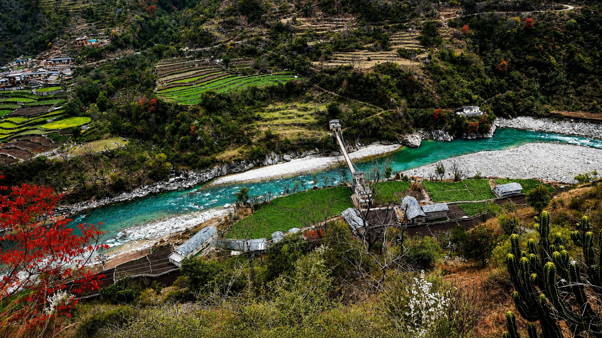
Kedarkantha is the most popular winter trek in Uttarakhand, and for good reason. It starts from the village of Sankri in the Tons valley, climbs through pine and oak forest to campsites in the snow, and ends on a rounded summit of about 3,800 metres with a full circle of Himalayan peaks around it. It needs no technical skill, only steady fitness and warm clothes, and from December to March it is usually under snow from the forest camps up.
Kedarkantha at a glance
| Start and end | Sankri village, Uttarkashi district |
| Summit height | About 3,800 m (12,500 ft) |
| Days on foot | Usually four, plus a travel day each way from Dehradun |
| Distance walked | Roughly 20 km in all |
| Grade | Easy to moderate; the summit morning is the hard part |
| Best for snow | Mid-December to March |
Getting to Sankri
Sankri is about 190 km from Dehradun, a long day of eight to ten hours on mountain roads through Mussoorie, Naugaon, Purola and Mori. Most trekking groups run a shared vehicle from Dehradun in the early morning. Driving yourself, leave by dawn so you are not on the last stretch after dark. If you are coming from the Yamunotri side, Barkot is a sensible night on the way, a few hours short of Sankri by Purola. Sankri itself has simple guest houses and homestays; carry cash, as ATMs and card machines are unreliable.
The route, day by day
- Sankri to Juda ka Talab. A steady climb of three to four hours through pine and oak to a small lake that freezes in mid-winter. The first night in tents.
- Juda ka Talab to Kedarkantha base. A shorter day, two to three hours, out of the trees onto open slopes, with the summit ridge above you. Rest and acclimatise.
- Summit day. A start well before dawn, two to four hours up through snow to the top for sunrise, then down past the base camp to a lower camp such as Hargaon or back towards Juda ka Talab.
- Back to Sankri. A downhill morning through the forest, and the drive out the next day.
Trek operators use slightly different camps, but the shape is the same. Most walkers book with a registered operator who provides tents, food, a guide and the forest permits for the Govind wildlife sanctuary area that the trail enters.
When to go
From mid-December to March the trail is usually under snow, which is what most people come for; nights at the upper camps fall well below freezing. April and May bring melting snow and rhododendrons, and October and November are clear and dry with little snow. The trail is best avoided in the monsoon. Fresh heavy snow can close the road to Sankri for a day or two, so keep a spare day at the end of the trip.
Fitness and safety
- Train for a month before: brisk walking or jogging and stair climbing, with a loaded backpack.
- Altitude is real at 3,800 m. Walk slowly, drink water, and tell the guide early about headache or nausea; our altitude sickness guide lists the symptoms.
- Use microspikes or gaiters on the summit day; the operator usually provides them.
- Turn back if the guide says so. The summit is a sunrise view, not a test.
What to pack
- Thermal layers, a fleece and a down or padded jacket, a woollen cap and two pairs of gloves.
- Waterproof trekking shoes with good grip, and woollen socks.
- Sunglasses and sunscreen: snow glare is strong.
- A headtorch, a water bottle that will not freeze shut, and some energy food.
- ID for the forest permit, and cash.
Where to stay before and after
Most people spend the night before the drive in Dehradun, close to the pick-up point, and come back to Dehradun or Mussoorie after the trek for a hot shower and a proper bed. If you want a shorter winter walk instead, see our Nag Tibba trek guide.
Where to stay on this route
- Hotel AashiyanaBarkotfrom ₹2,500
- Amandeep GalaxyBarkotfrom ₹3,000
- Shivoham RetreatDehradunfrom ₹3,000
- White Flower DehradunDehradunRates on request
Before you go
- Mid-December to March is the snow season; keep a spare day in case the road to Sankri closes.
- Leave Dehradun by dawn: Sankri is eight to ten hours away by road.
- Carry cash; ATMs in Sankri are unreliable.
- Tell the guide early about headache or nausea at the upper camps.
Good to know
- Kedarkantha's summit is about 3,800 m, with views of Swargarohini and Bandarpunch.
- Juda ka Talab, the first camp, is a small lake that freezes in mid-winter.
- Sankri lies in the Tons valley, in the far west of Uttarkashi district.
- Kedarkantha is one of the few Himalayan summits reachable in winter without technical climbing.
Frequently asked questions
How many days does the Kedarkantha trek take?
Usually four days on foot from Sankri, plus a travel day each way from Dehradun, so six days in all.
What is the height of Kedarkantha?
About 3,800 m (12,500 ft) at the summit. Sankri, where the trek starts, is about 1,900 m.
When is the best time for the Kedarkantha trek?
Mid-December to March for snow. April and May for melting snow and rhododendrons; October and November for clear, dry weather.
How do I reach Sankri from Dehradun?
By road, about 190 km and eight to ten hours via Mussoorie, Naugaon, Purola and Mori. Most trek groups run a shared vehicle from Dehradun early in the morning.
Is the Kedarkantha trek good for beginners?
Yes, for fit beginners. It needs no technical skill, but the summit morning in snow is long and cold, so train for a few weeks before.
About the author
Pulp Hotels Team
The Pulp Hotels Team is the desk that runs Pulp Hotels and the verified properties on this route — Barkot, Uttarkashi, Harsil, Guptkashi, Joshimath, Badrinath and the Kedarnath valley. We deal with the owners of those hotels, and with the pilgrims staying in them, through every day of the season, and these guides are written and corrected from that work and from the official notices each season brings. Fares and opening dates change every year, so we leave them out on purpose and point you at the source instead.
Related guides
- Mussoorie from Dehradun: A Two-Day Plan, Landour and the Road to Yamunotri
How to get up to Mussoorie from Dehradun, what to see in two days — Mall Road, Landour, Kempty Falls — how to avoid the weekend traffic, and why Mussoorie is also a way into the Yamunotri valley.
- Nag Tibba Trek: A Weekend Climb from Pantwari, near Mussoorie
Nag Tibba trek guide: reaching Pantwari from Dehradun and Mussoorie, the two-day route to the 3,022 m summit, winter snow, what to carry and where to stay.
- Christmas and New Year in Mussoorie: The Winterline Carnival, Snow and Where to Stay
What happens in Mussoorie between Christmas and New Year — the Winterline Carnival on the Mall, the winter line at sunset, the chance of snow — and how to plan around the traffic and book the right room.
- Do Dham Yatra: Kedarnath and Badrinath Without the Other Two
Do Dham Yatra for Kedarnath and Badrinath in six or seven days: the route, where to sleep, registration and when to go, from Haridwar or Rishikesh.
- A 10-Day Char Dham Itinerary, Written Around Where You Sleep
Ten days, nine nights, four shrines — planned backwards from the beds rather than forwards from the temples, which is why it holds together.
- Char Dham Yatra for Senior Citizens: Planning It So They Finish It
Two of the four shrines can be reached by car. The other two decide whether an older pilgrim completes the yatra or turns back at the trailhead.